Abstract:
Spatial data and methods have a rich history of reforming cities and communities. For example, John Snow’s 1854 London Cholera map spurred creation of urban sewer systems to protect drinking water and provision of green spaces for public health. Today, Geospatial data and mapping is among Technology that cities use the most for numerous strategic (e.g., long-term planning, land-use, identify underserved areas), tactical (e.g., zoning, property tax, site selection, asset tracking) and operational (e.g., E-911, situation awareness, gunshot location) use cases. Moreover, they help citizens navigate (e.g., Google Maps) , drones stay clear of restricted spaces (e.g., airports, stadiums), and sharing-economy (e.g., Uber) match consumers with nearby providers.
Future spatial computing opportunities for smart cities are even more compelling. Next generation GPS and positioning may help better locate E-911 callers in high-rise buildings or underground spaces. Higher resolution and continuous remote sensing may help monitor sensitive areas, map tree species (e.g., Ash) or poorly-insulated buildings and create high-fidelity maps for self-driving vehicles. Spatial Databases may help identify under-served areas and geographic interdependence across infrastructures (e.g., water main above a train tunnel with a crucial optical fiber) to improve access and resilience. Spatial Data Science may identify infrastructure deprivation hotspots and their correlates (e.g., co-locations, tele-connections) to generate hypothesis for theory formation. GIS may help re-imagine, redesign, see and compare alternative infrastructure futures to address risks (e.g., climate change, rising inequality) and opportunities (e.g., autonomous vehicles, distributed energy production).
This talk will discuss the above topics leveraging research agenda and early results from our NSF S&CC project titled Connecting Smart-City Paradigm with a Sustainable Urban Infrastructure Systems Framework to Advance Equity in Communities. More details are available in the following publication: Transforming Smart Cities With Spatial Computing, Proc. IEEE International Smart Cities Conference , (with Y. Xie, J. Gupta, Y. Li), 2018.

Speaker Bio:
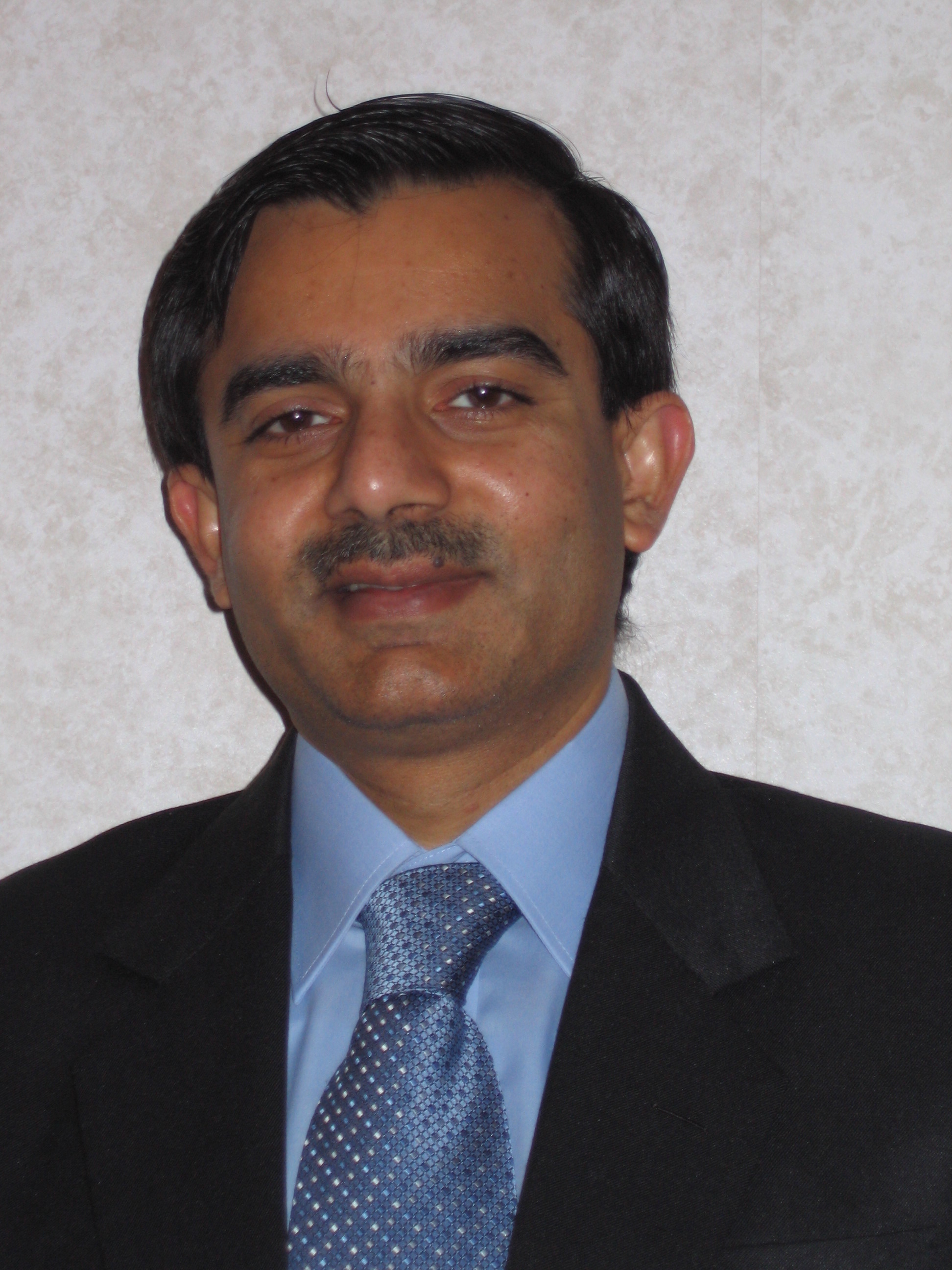
Shashi Shekhar is a Mcknight Distinguished University Professor and a Distinguished University Teaching Professor at the University of Minnesota (Computer Science faculty). For contributions to geographic information systems (GIS), spatial databases, and spatial data mining, he was elected an IEEE Fellow as well as an AAAS Fellow and received the IEEE-CS Technical Achievement Award, as well as the UCGIS Education Award. He was also named a key difference-maker for the field of GIS by the most popular GIS textbook. He has a distinguished academic record that includes 300+ refereed papers, a popular textbook on Spatial Databases (Prentice Hall, 2003), an authoritative Encyclopedia of GIS (Springer, 2nd Ed. 2017) and a perspective article on Spatial Computing in the Communications of the ACM (Jan. 2016).
Shashi is serving as the Chair of the Board of Directors of the SSTD ( Symposium on Spatial and Temporal Databases) Endowment (2014-2019), and a member of the board of directors of the Computing Research Association (CRA) (2016-2019). He is also serving as a co-Editor-in-Chief of Geo-Informatica : An International Journal on Advances in Computer Sciences for GIS (Springer), and a series editor for the Springer-Briefs on GIS. Earlier, he served as the President of the University Consortium for GIS (2017-18), on the CRA’s Computing Community Consortium Council (2012-15), and multiple National Academies’ committees including Models of the World for USDOD-NGA (2015), Geo-targeted Disaster Alerts and Warning (2013), Future Work-force for Geospatial Intelligence (2011), Mapping Sciences (2004-2009) and Priorities for GEOINT Research (2004-2005). He also served as a general or program co-chair for the Intl. Conference on Geographic Information Science (2012), the Intl. Symposium on Spatial and Temporal Databases (2011) and ACM Intl. Conf. on Geographic Information Systems (1996). Furthermore, he served on the Board of Directors of University Consortium on GIS (2003-4), as well as the editorial boards of IEEE Transactions on Knowledge and Data Eng. and IEEE-CS Computer Sc. & Eng. Practice Board.
In early 1990s, Shashi’s research developed core technologies behind in-vehicle navigation devices as well as web-based routing services, which revolutionized outdoor navigation in urban environment in the last decade. His recent research results played a critical role in evacuation route planning for homeland security and received multiple recognitions including the CTS Partnership Award for significant impact on transportation. He pioneered the research area of spatial data mining via pattern families (e.g., colocation, mixed-drove co-occurrence, cascade, statistically significant linear hotspots), keynote speeches, survey papers and workshop organization.
Shashi received a Ph.D. degree in Computer Science and a M.S. degree in Business Administration from the University of California (Berkeley, CA) and an undergraduate degree from the I.I.T. Kanpur (India).